
We are in the midst of planning and developing the release of NYCityMap 3.0. The current version, launched in 2010, has had a good run but is showing its age and is in need of a refresh.
As we often try to gather feedback from our audience, this blog post is intended to lay out the basic objectives and to solicit feedback. Follow up posts will be more targeted towards extracting specific input through the use of polls and other online tools.
The basic objectives of the update project are:
- Responsive design supporting mobile devices;
- Simplify user interface/presentation of data;
- Include appropriate existing functionality;
- Ability to easily update and publish data (for us);
- Provide a gateway to other mapping applications within NYC;
- Move away from custom code and leverage a more complete open source solution.
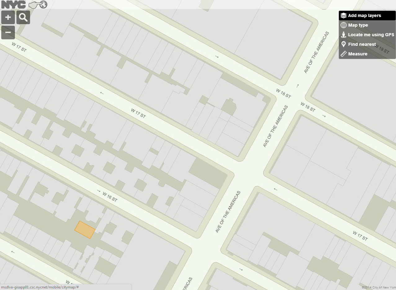
Below are some preliminary screens using OpenLayers 3.0 with tiles generated from ArcGIS Server.

Feel free to comment on this post and send along your feedback on how you would like to see NYCityMap evolve.

Hi Colin,
Would you add a capability to display all of the alias addresses that might be associated with a tax parcel?
You show a primary address for each building lot, but sometimes there are as many as 20 other addresses that are or can be activated by the landlord. I have not found a way to identify these alias addresses for a lot, in a comprehensive way. Some of these are vanity addresses, some of these are addresses with a different side street name, some addresses are valid for retail frontage, and so on. I get completely lost. I’ve tried to use your PAD spreadsheet to probe this, but I can’t make heads or tails of that.
Ideally, when an info box is opened for a tax parcel because a user clicked on that lot, the primary address should continue to be listed, along with all of these possible aliases–or at least link where to find them in user friendly way.
Perhaps this is too hard given your limited resources. That’s my guess as to why you haven’t already done it. But, if you DID build in this capability, it would be a life changing event for me. (I have a meagre life).
Other than that, I want to reiterate my thanks. The NYC map is mission critical for me. I am a huge fan of what you’ve already done over the years. It already is the best mapping application in the world for my purposes.
You deserve a cupcake! (Or a Bushmills)
Ken Sacharin
I noticed that you’re working on a feature to replace Address Translator. (GOAT?). Please let me know what, in a phrase or two, it does and approximately when you expect to unveil it. Thanks!
City Planning is working on it. GOAT stand for, I think, Geographic Online Address Translator. Not sure when it’s expected to be released but I will check.
Added to the wish list. Can’t promise anything right now but we’ll see what we can do. It should be possible. We’ll probably add a link for additional addresses. We’ll return what Geosupport provides.
Hi Colin, I´m gonna walk the perimeter of Manhattan. Wanted to know the longest and widest distance also. Any info would be great, thanks!
Sorry I missed this comment. Your best bet would be to download the centerline (https://data.cityofnewyork.us/City-Government/CSCL-PUB-Centerline/exjm-f27b) and plot your route from that data. Good luck!
Hi, Colin, I am an architecture student working on a project on the UN. Thank you for your excellent site. Usually you update the aerial bi-annually, with the last one being 2012. Any chance that you might be updating the 2014 anytime soon?
There have been a number of changes on the site since 2012.
Thanks!
Oskar
When the 2014 aerial are completed they will be added to the site. I do not expect that to happen until late spring 2015.